Pix1
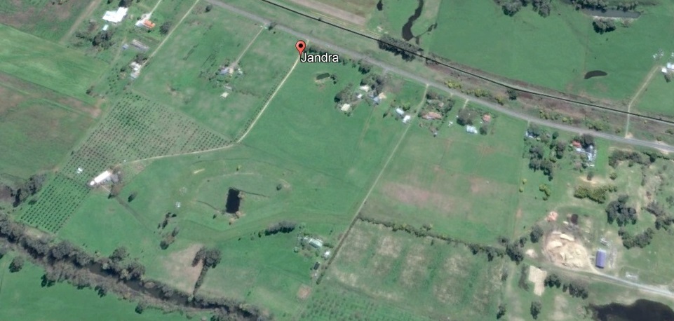
Jandra Olive Farm, aerial maps from 1955 on.
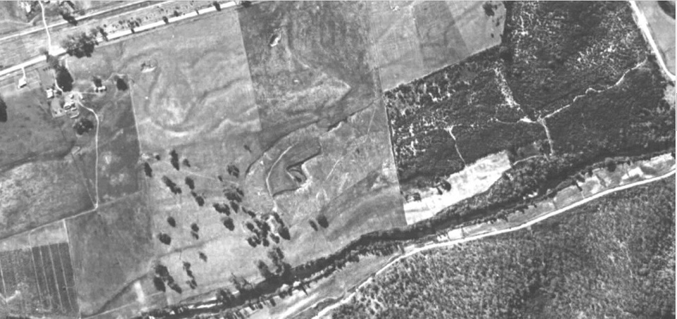
1955
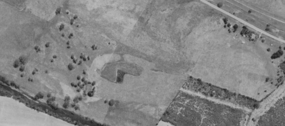
1963. Sometime between 1955 and 1963 an attempt was made to turn the mining pit into a dam. (Now the seasonal goose pond.) It was dug out, lined with clay. And failed. Two of my neighbours have similar failed waterhole/dams.
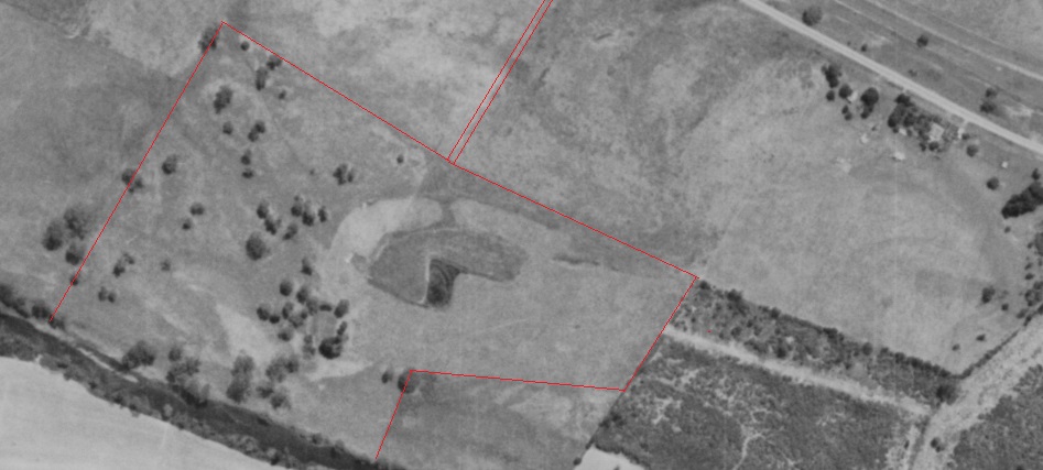
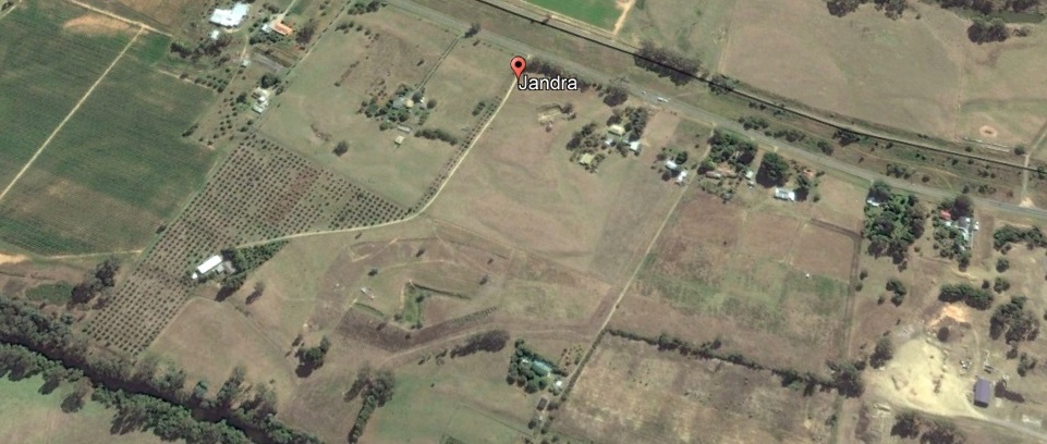
1963 future property border marked
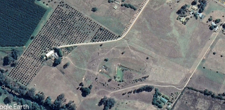
2004 Subdivision has occurred, and neighbouring houses are in place. Olive grove marked out and planted. House orchard not started. Not much fencing! Most of the remnant native trees on Jandra have been removed.
Neighboring properties show extensive chestnut orchards...prior to Chestnut Blight being detected and them being ripped out.
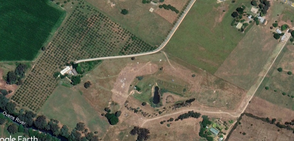
2013 New shed is built. House orchard visible. Neighboring chestnut orchards all gone, and quite a lot of remnant bush on neighbouring properties is now gone.
2016
2019
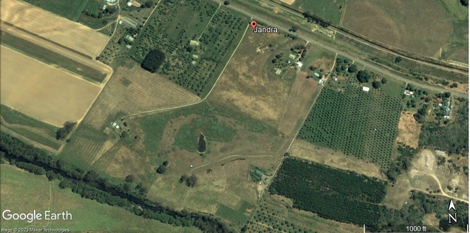
2022
[Back to start] [Previous ]
[1] [2] [3] [4] [5] [6] [7] [8] [9] [10] [11] [12] [13] [14] [15] [16] [17]
[Next ] [End]